client: Cowichan Tribes scope: Tribal lands visioning workshops.
role: Architecture and Planning Design Lead for EDAW/AECOM. team: Nancy Bird
role: Architecture and Planning Design Lead for EDAW/AECOM. team: Nancy Bird
overview
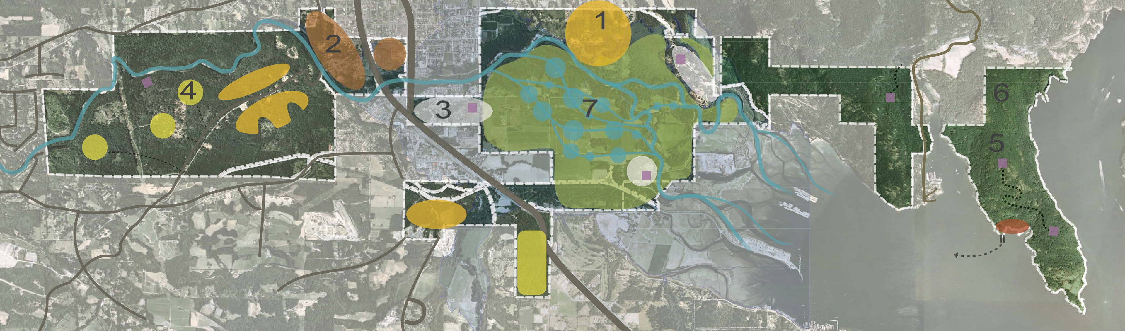
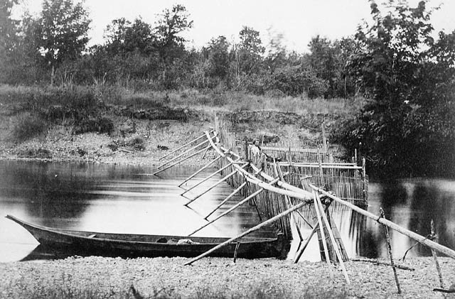
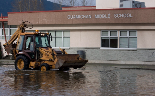
Cowichan villages were traditionally located along the estuarine tributaries of Cowichan Bay. Both highways and sources of food, the many fingers of the bay were the main infrastructure of Cowichan settlements. As logging, agriculture and urban development have come to the Cowichan watershed, 100-year flood levels are crested every several years, destroying the traditional villages and isolating newer elevated structures. As the Cowichan Tribes plan for the construction of their first consolidated wastewater treatment infrastructure, they had to plan where future growth should occur.
Cowichan villages were traditionally located along the estuarine tributaries of Cowichan Bay. Both highways and sources of food, the many fingers of the bay were the main infrastructure of Cowichan settlements. As logging, agriculture and urban development have come to the Cowichan watershed, 100-year flood levels are crested every several years, destroying the traditional villages and isolating newer elevated structures. As the Cowichan Tribes plan for the construction of their first consolidated wastewater treatment infrastructure, they had to plan where future growth should occur.
workshop context
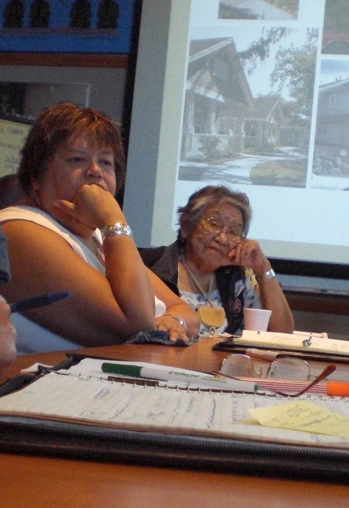
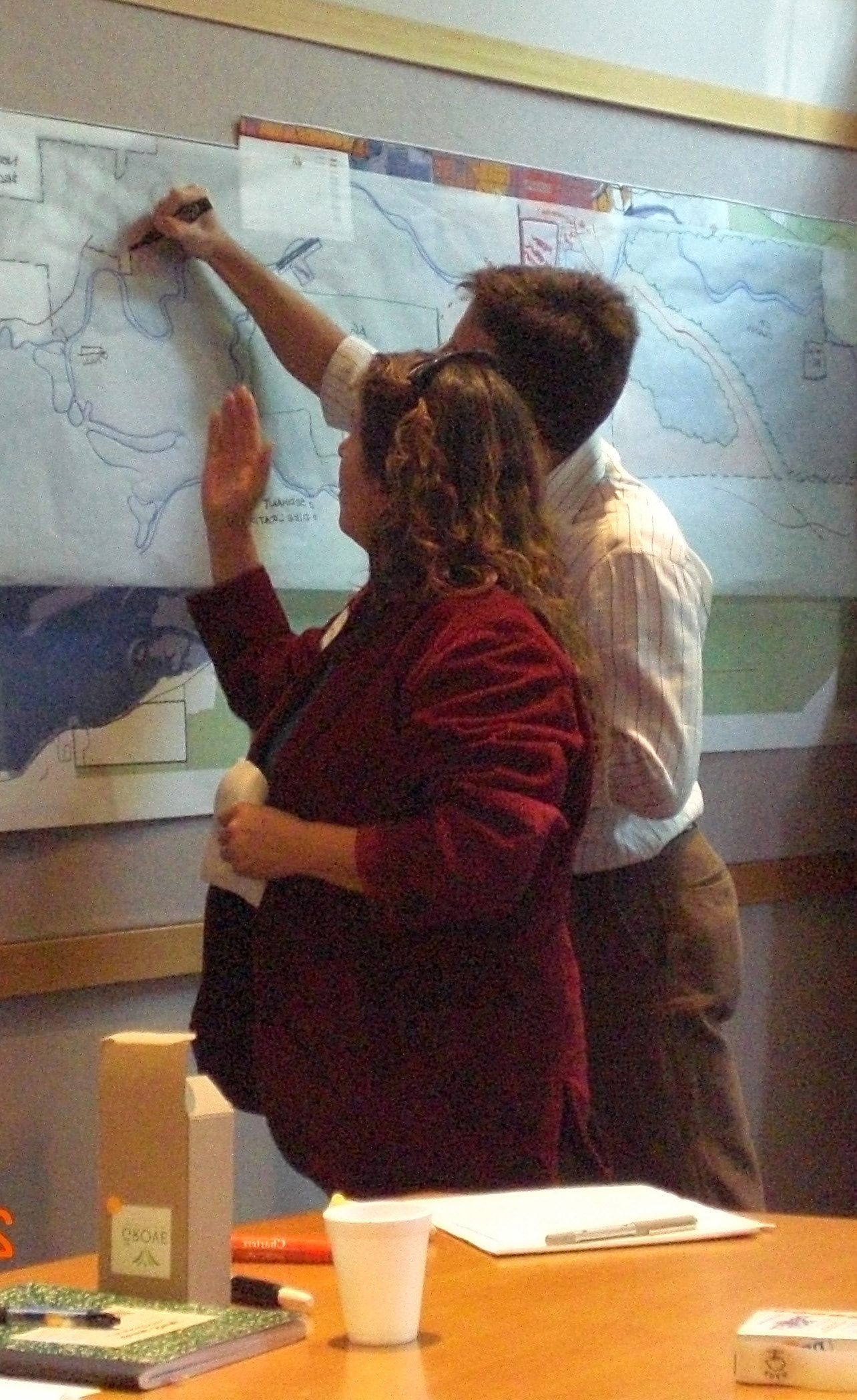
Facilitating a group of Cowichan leaders in a multi-day planning workshop, we led them through a collective mapping of features and visions for their lands. We returned with two alternative planning strategies. The first suggested investment in flood control infrastructure would preserve the traditional village sites, and allow for modernization and commercial development of the floodplain land. The second suggested development of new centers on higher ground with access to modern transportation and jobs. Traditional villages would be preserved as cultural sites, while the floodplain lands could be restored and leased as part of a wetland banking system, mitigating flooding and helping restore the ecology of Cowichan Bay. In a breakthrough workshop, the leadership group faced the frank truth that the cultural reasons for living along the river have been replaced by the need to provide opportunities for Cowichan people to thrive in modern society while respecting their roots.
Facilitating a group of Cowichan leaders in a multi-day planning workshop, we led them through a collective mapping of features and visions for their lands. We returned with two alternative planning strategies. The first suggested investment in flood control infrastructure would preserve the traditional village sites, and allow for modernization and commercial development of the floodplain land. The second suggested development of new centers on higher ground with access to modern transportation and jobs. Traditional villages would be preserved as cultural sites, while the floodplain lands could be restored and leased as part of a wetland banking system, mitigating flooding and helping restore the ecology of Cowichan Bay. In a breakthrough workshop, the leadership group faced the frank truth that the cultural reasons for living along the river have been replaced by the need to provide opportunities for Cowichan people to thrive in modern society while respecting their roots.